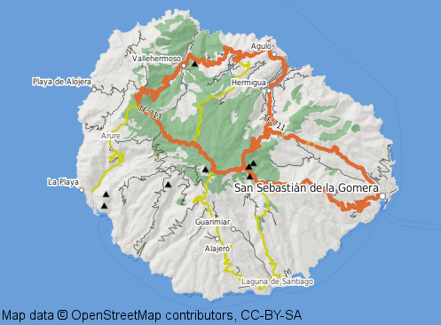
When rendering maps people coming from a traditional GIS background tend to use Mapserver rather than Mapnik. I don’t know the reason for this, but it is probably just because Mapserver is quite mature and has been around for a long time while Mapnik is still relatively new.
I also did quite a few things using Mapserver in the past but mostly in the WMS and raster data area.
One thing Mapserver can do is rendering based on data values rather than just by predefined rules, which could be quite useful for river widths and the like. This was not possible in Mapnik at least not in Mapnik versions < 2.0.
Mapserver is scriptable in a couple of languages (not just Python) and this is why it has been relatively easy coding a new backend for Tirex although Perl is not quite my favourite scripting language. Of course this new backend is heavily based on the existing WMS backend.

So why did I do this? Well, last week I just stumbled upon the nice Topomap project which Max Berger is doing and unfortunately he map is limited to a very small area.
Hopefully I will be able to provide a map of this style for a couple of other areas real soon now. I’m especially interested in islands with good hiking options, the so called Wanderinseln in German.
I just commited the changes to the Openstreetmap SVN-repository in the hope that it might be useful for others as well.
BTW, Max is using TileCache which I could probably use as well. Probably someone can enlighten me about the pros and cons of Tirex vs. TileCache.
Neueste Kommentare